Originally published 4/1/19 by VirtualiTeach. Click here to view the article in its original format.
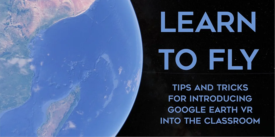
Without a doubt one of the most stunning educational virtual reality experiences is Google Earth VR. This free app is a great way to contextualise geographical learning by letting students teleport around the globe and explore our planet first hand. You can be stood next to the Christ The Redeemer statue in Brazil as the sun sets then with the click of a button be flying along the River Thames. You can stand atop the Eiffel Tower and observe the layout of Paris. You can stand inside the ruins of The Colosseum as you learn about Roman culture. It really is an amazing example of the power of VR and one that you see being recommended in non-educational circles as readily as the likes of Skyrim for showing off the medium.
In my experience Google Earth VR is also the educational app that has the highest chance of students getting dizzy, losing their footing or even falling over (NB I never leave students alone using VR so I have never actually had a kid fall over – though I’ve seen a few look like they might have if I was there!) Google Earth VR gives you Superman-like powers, allowing you to fly around the world at speed. You can also pass straight through objects like buildings or mountains. These are both feelings that our brains struggle to compute and can easily throw users off balance.
I’ve just delivered a Google Earth VR enrichment project with nearly 70 Year 3 students at JESS Dubai to complement their Explorers topic. The sessions took place over a series of weeks and throughout the whole project, I started taking notes to try and put together a little guide to using Google Earth VR with first-timers. A flight guide if you will.
Below is a rundown of my top 5 tips and tricks – I hope you find them useful.
I’ve also included a bonus section detailing a few other more general tips and tricks for Google Earth VR.
Tip 1: Model it first
I think it’s crucial with Google Earth that you model how to use it carefully before letting students try it for themselves. Have the student(s) in a position where they can see both you and the PC’s screen so that you can run through the controls at your pace rather than just let them run wild with it. The fact that the labelled controllers show in-app is really helpful here as it the fact that your thumbs position on the track pad is highlighted wherever you lay it.
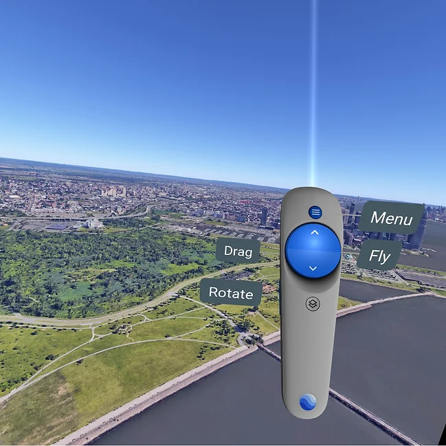
Tip 2: Start with just the right controller
This might seem odd but it’s actually the same approach I use when introducing people to Tilt Brush. New users are prone to inadvertent button presses and/or spamming everything their digits come into contact with. This can be frustrating for you and in this case it can be dizzying for them.
Why the right controller? Mainly because this is the core controller for movement within Google Earth VR but by leaving the left controller out of the equation, you also spare newbies from one of the most head-swim inducing functions of the app: the world tilt.
I will never forget the first time I used this in Google Earth VR – the whole room felt like it was rotating. It’s a great way to alter the perspective of the location you are visiting but it’s also a sure-fire way to make someone feel queasy if they don’t know it’s coming or press it by mistake! Much better to leave this out of the mix initially.
Tip 3: Have them use a “Superman arm”
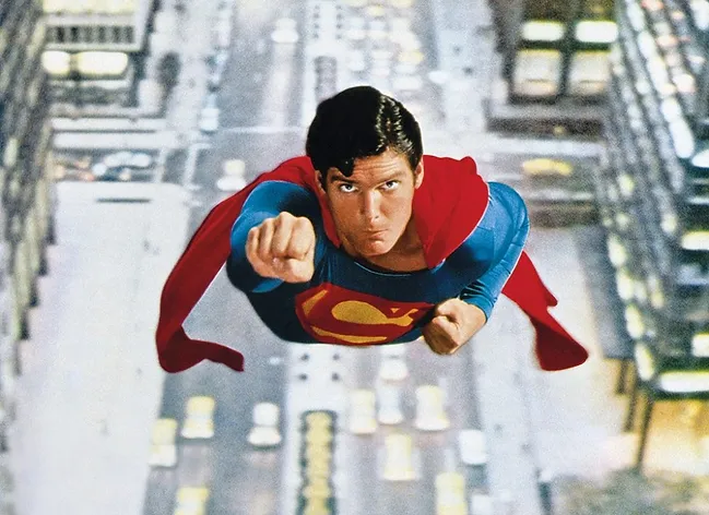
The underlying mechanic of the flight in Google Earth VR is that when you press up in the right track pad, you fly forward. Which way forward actually is depends on which direction the users is pointing the controller. I find that kids often assume they will fly where they are looking rather than where they are pointing. As such, to help them direct their flight path, I get them to hold their arm out like Superman in the direction they want to fly. This simple gesture not only helps them aim more accurately but it allows them to start using subtle tilts and pitch changes to really elevate their flight game. During the recent project I watched in awe as one 8 year old nimbly flew through a narrow Utah canyon with precision that Tony Stark would have been proud of!
Tip 4: Beware of the double-tap speed boost
What many Google Earth VR users don’t realise is that if you double tap the forward button on the right track pad, you actually double the flight speed. This can both throw users off balance and off course quite quickly and is worth warning them about whilst modelling the controls. Remind them that at any point that can just stop pressing the controllers at all and they will come to a full stop to gather themselves and reassess their location etc.
Tip 5: Always have a spotter
As I mentioned at the start of this article, I would never leave a student alone using Google earth VR – even if they were using it sitting down. The intensity of the movement in the experience tends to cause users to lean into the direction they feel that they are going. This can leave them off balance and prone to injury. Always make sure that a user has a “spotter” (like when lifting weights in the gym). Having students work in pairs, taking turns to spot each other is a great way to embed some communication skills into a Google earth VR activity. Better yet , have the spotter use positional language to help direct the flyer to a destination, point of interest or vantage point
So now let’s take a quick look at some other key tips and advice for using Google Earth VR in the classroom.
Ensure you have a good internet connection
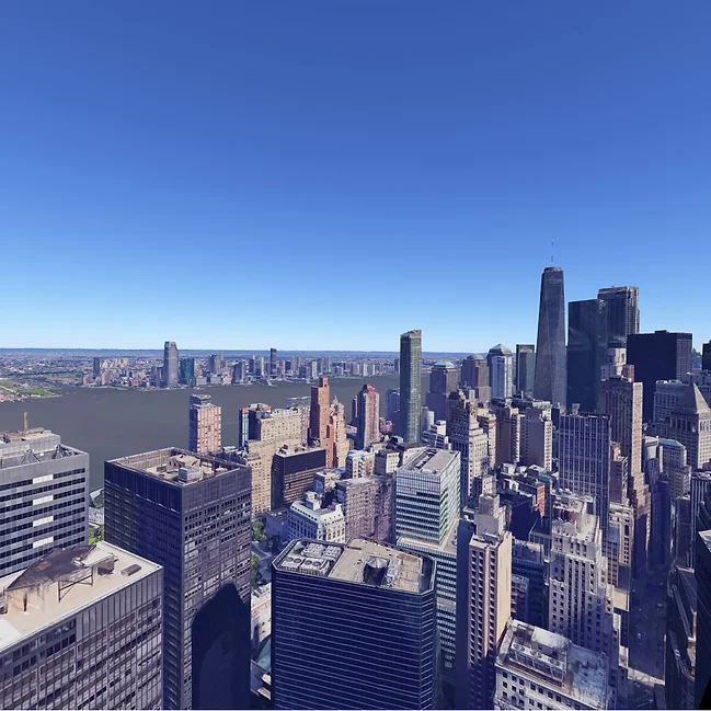
Google Earth VR is a huge app and relies on the internet to display locations in detail. The closer you get to the ground, the more layers of detail are needed and the longer you have to wait for the images to turn from rough blobs to more precise 3D captures. As such having a good internet connection is essential and this is one app I will always ty to hard-wire for rather than use wifi.
Use the camera tool to evidence learning
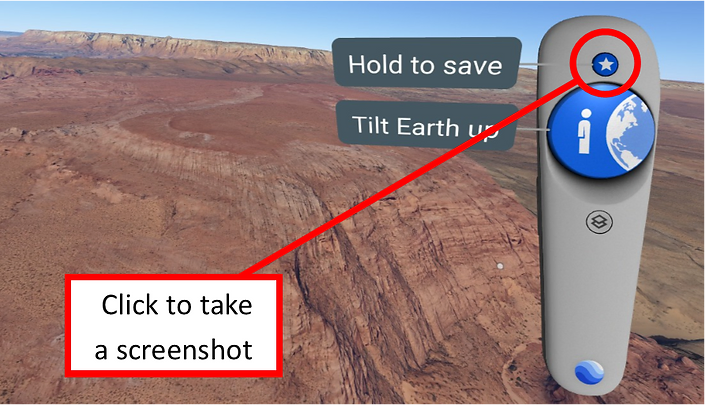
Once students are comfortable with the app and using both controllers, don’t forget to show them the camera tool. What camera tool you say? By pressing the menu button on the left controller the location is saved for you to access again later. However what this also does is saves a snapshot of your view into the Pictures folder on your PC!
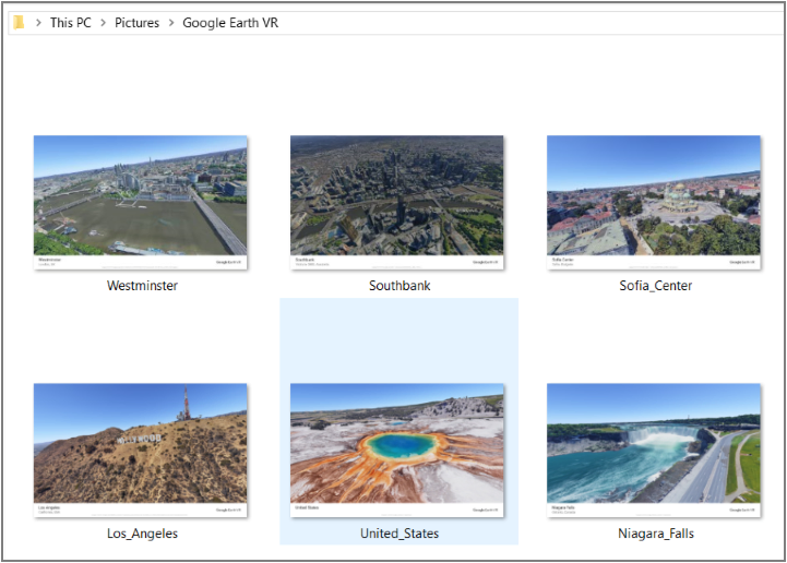
During the recent project with Yr3, the sessions ended with me asking each student the million dollar question -If you could go ANYWHERE in the world, where would you go? I would then help them go to their chosen destination (everything from football stadiums to the Amazon to towns where their families were from.)
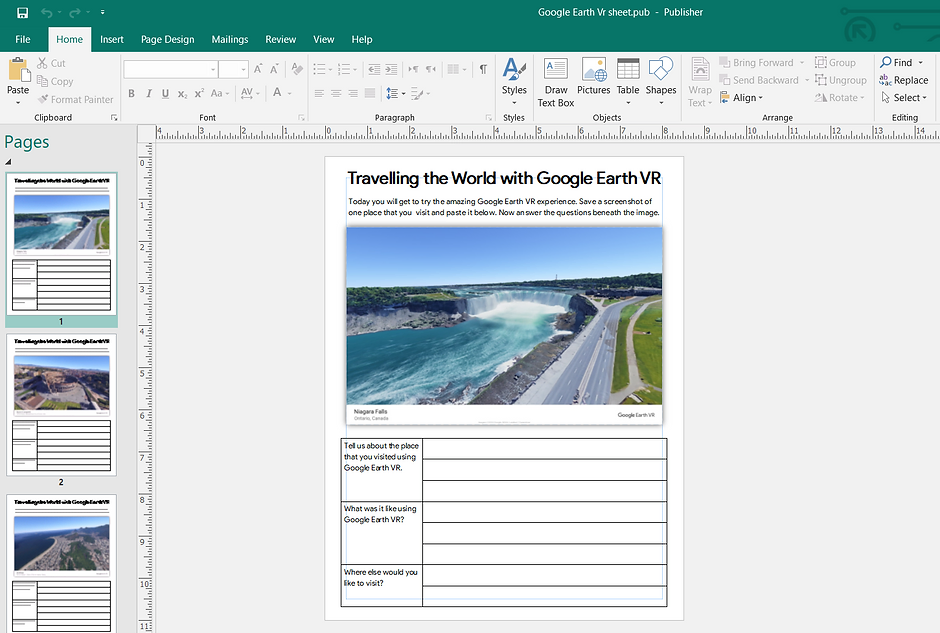
Once there they explored and then took a picture. After the session I then dropped these into a template I made in Publisher for them to reflect on the experience and destination.
Changing the time of day
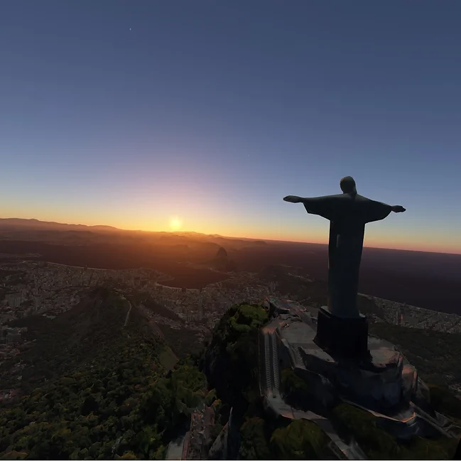
Don’t forget to show students that they can use the right trigger to “grab” The Sun and drag it across the sky to change the time of day. It’s great way to model the changing position of shadows etc for a Science class. Also makes for some stunning pictures if you set it to sunset/dawn!
Photospheres
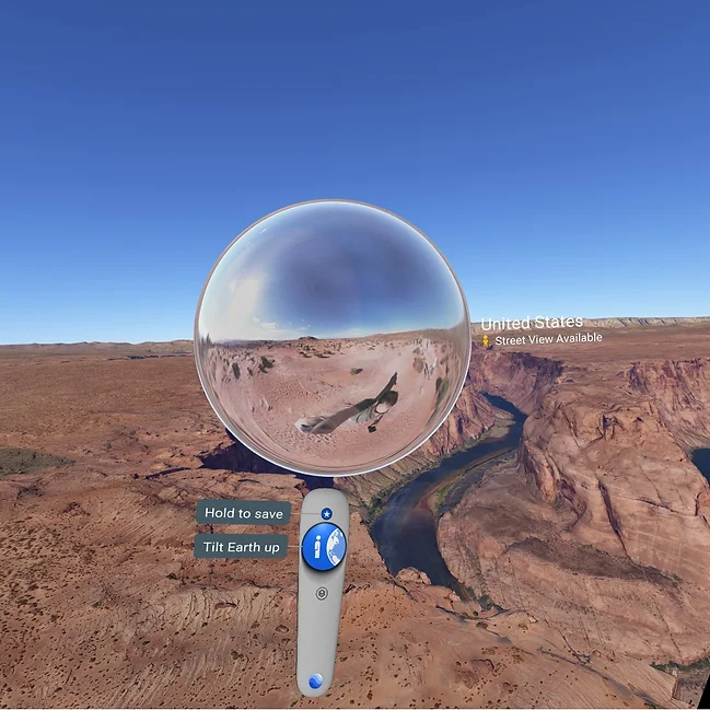
The Google Street View photospheres appear on the left controller whenever you reach a location where one has been tagged with one (or many). These are nice for giving students a 360° view of the actual location but to be honest I don’t use them much as they feel very static compared to the core app (they can also be littered with tourists and blurry at times!) Nonetheless, it’s worth showing students how to access them.
Using OVRdrop to sketch from inside Google Earth VR
I want to finish off by sharing this brilliantly clever use of Google Earth VR as a source of inspiration for art by Ubisoft artist Liz Edwards. Using the OVRdrop app to open a webcam window inside Google Earth VR, Liz was actually able to sit and sketch Saint Petersburg as if she was there!
How cool is that? It’s a brilliant example of how Google Earth VR could be used in subject areas other than Geography!
Download Google Earth VR from Steam for free by clicking here.
